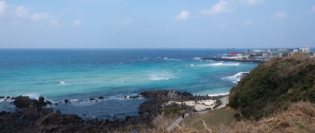
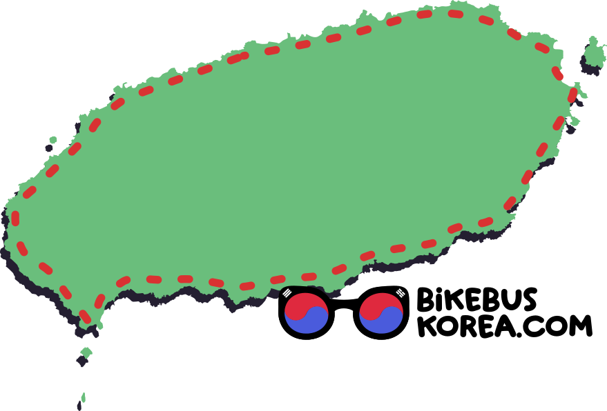
A 230km coastal loop around the sub-tropical Jeju Island known for its 1,947m Halla Mountain, citrus fruit production and white sandy beaches.
This route uses a mixture of coastal and some larger roads, passing by many of the main attractions of the island including the cities of Jeju and Seogwipo.
Jump to transportation / accommodation / navigation
Our Cycling difficulty Rating


3/5
mostly flat: see below
1/5
230km
How to Get to Jeju Island
Jeju City, on the northern side of the island, has an international airport and ferry terminal. There are flights from all major South Korean cities and ferries from the south-coast ports of Mokpo, Jindo, Wando, Nokdong and Samcheonpo.
There are also international connections by air and sea to neighbouring countries.
We recommend using Mokpo as the sailing time is relatively short (about 5 hours), tickets are relatively cheap (33,000KRW as of January 2026) and it is a major city with good transport links.
Jindo is closer to Jeju but less accessible without a car. Samcheonpo is the closest port to Busan, but only has overnight sailings to Jeju and tickets are double the price of Mokpo at the time of writing.
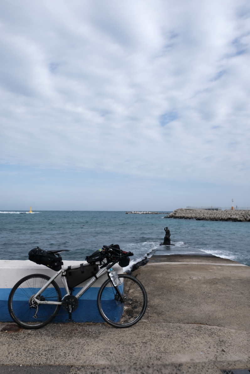
Bringing a Bike from the Mainland
Ferries accommodate bicycles for a small fee (about 3000KRW), so if you intend to bring your own bicycle we recommend this option over flying.
Cycling in Jeju is very popular, so there are plenty of options to rent bikes in Jeju City.
Elevation Profile
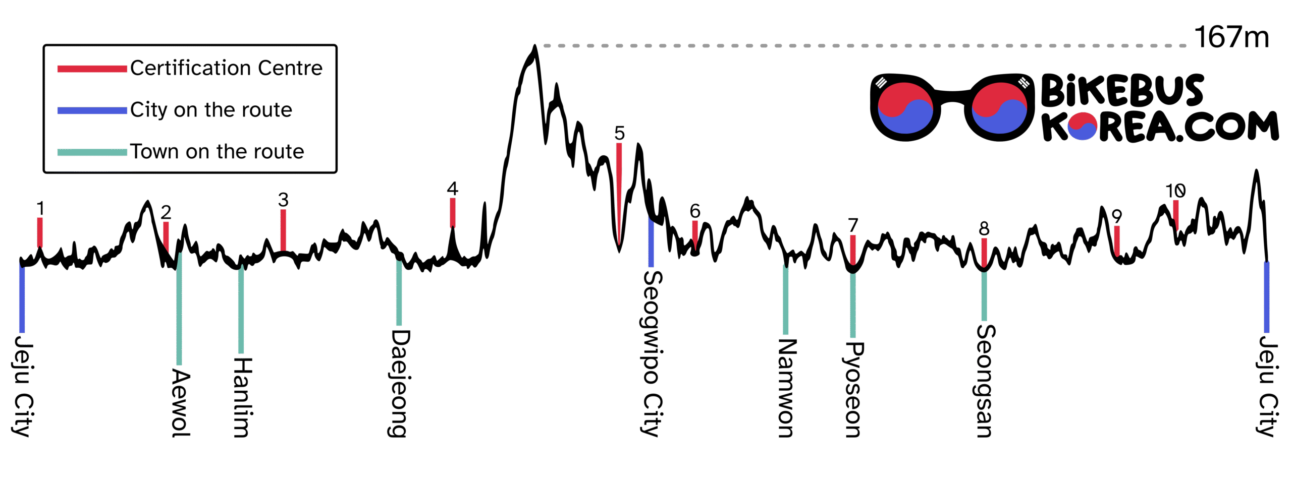
Expand for a List of Certification Centres
Listed anti-clockwise starting from Jeju City. Click for Naver Map link.
Route Certification
The Jeju Island cycle route has 10 certification centres where you can collect stamps. You can buy an official Bicycle Road Passport on the mainland to get a route completion sticker, or just enjoy collecting the stamps on your own paper.
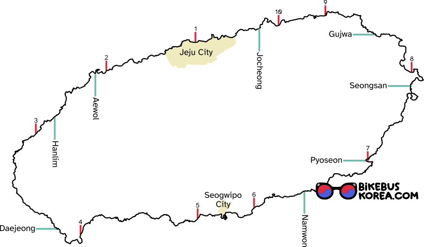
Urban Areas and Transportation
Below is a map showing urban areas where you can find accommodation and supplies.
Jeju doesn’t have intercity buses or trains, so the only way to move a bicycle around the island is to cycle.
There is a good network of public transport, but it uses standard city buses without separate luggage storage.
Expand for a List of Certification Centres
Han River Path (through Seoul)
North Han River Path
Accommodation
As the most beloved domestic travel destination for Koreans, there are options for accommodation along most of the coastline.
The exception to this is the west coast. This area is sparsely populated and there are very few affordable options.
The towns and cities marked above are the most convenient places to sleep, but even rural areas tend to have pensions – beachside holiday rentals. These are usually more expensive than hotels and motels in urban areas.
Unlike most of Korea, Jeju has plenty of hostels (locally called guesthouses). Especially in Jeju City and Seogwipo, these can be great places to meet other travellers and save money over hotels.
Navigation
The loop is set up for cyclists to travel anti-clockwise. Waysigns and protected cycle paths are mostly only on this side, and cycling clockwise puts the road (sometimes four lanes) between you and the coast, forcing you to cross often to follow the loop.
The route is well signposted if travelling anti clockwise, but we recommend using the signs in conjunction with GPS. If the signs disagree with Naver Maps, Naver is likely to take you a more direct road with heavier traffic.
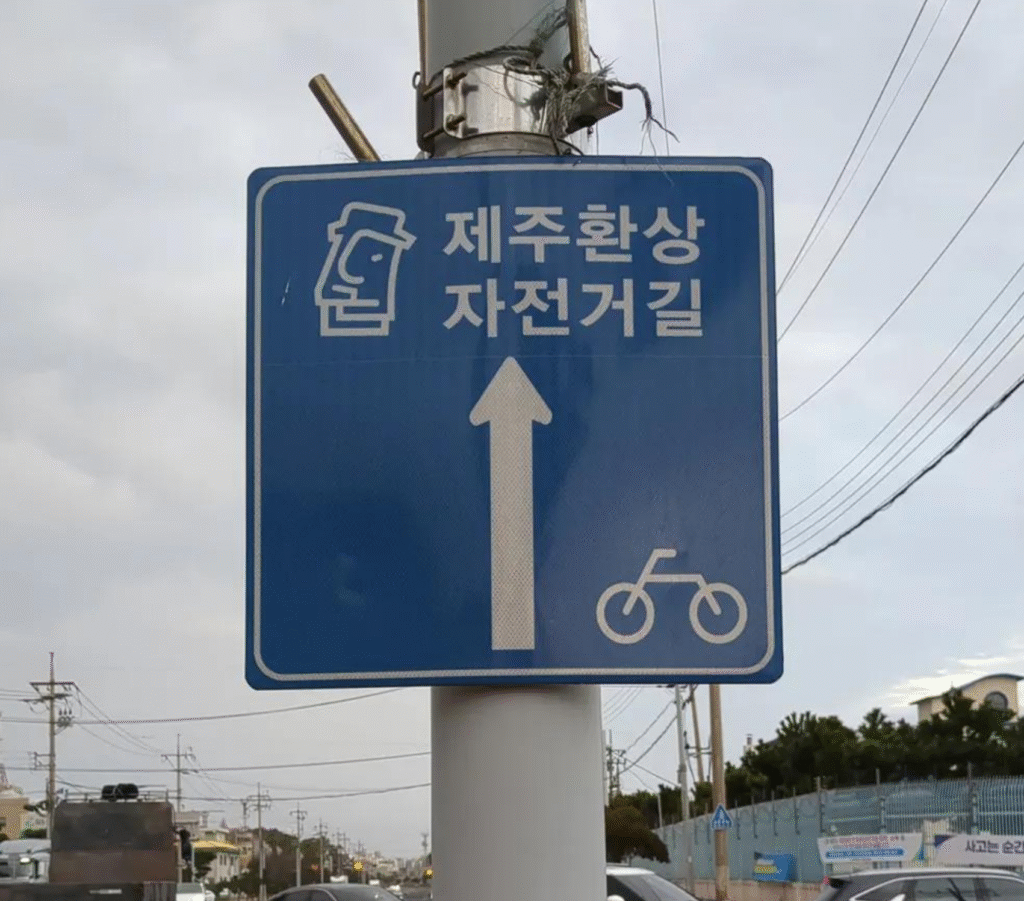
Like most national cycle routes in Korea, the Jeju Island Loop has these large square signs. The graphic at the top is a dol hareubang, the distinctive stone statue found all over Jeju.